PREVIOUS
Critico Joins Global Critical Communications Organisation TCCA


During the 2024 GeoINT Symposium in Orlando, Airbus unveiled its ambitious initiative, the Pléiades Neo Next program, aiming to expand and enhance its high-resolution Earth observation satellite constellation.
The announcement sets the stage for the future of global satellite imagery services. Nicolas Jaunard, Head of Marketing Geospatial Products & Services at Airbus, provided detailed insights into the new program during an interview at the event. The Pléiades Neo Next initiative seeks to build on the success of Airbus’s current Pléiades Neo constellation, with a focus on significantly improved resolution, targeting a broad range of applications from defense and intelligence to commercial uses.
Airbus plans to launch the first satellite of this next-generation constellation in the upcoming years, promising advancements that will outpace the existing capabilities. Jaunard pointed out the commitment to maintaining the best resolution available in the market, which currently stands at 30cm optical resolution. He noted that with Pléiades Neo Next, these specifications will be enhanced even further, though specifics about the new resolution levels were not revealed during the interview.
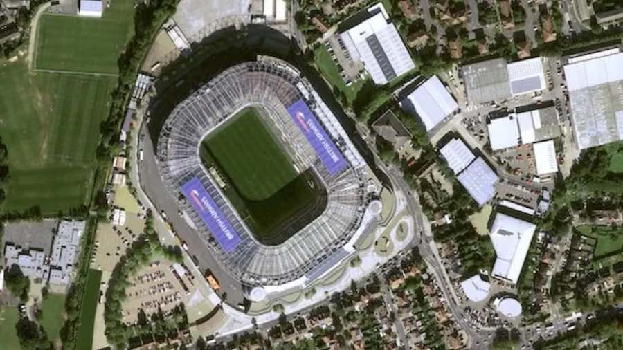
Artificial intelligence plays a crucial role in the current constellation notably with HD15, enhancing the clarity of images to make it easier for analysts to discern details such as vehicles and road signs. This AI processing sharpens images without adding artifacts, thus boosting their usefulness for detailed analysis.
Jaunard also discussed Airbus’s comprehensive range of services, which includes both optical and synthetic aperture radar (SAR) capabilities, providing all-weather, day-and-night coverage suitable for a variety of sectors. He emphasized the advanced tasking capabilities of the Airbus satellites, which allow for near-real-time image acquisition, a critical feature for time-sensitive operations.
Additionally, the discussion touched on Airbus’s digital elevation models which play a vital role in diverse applications such as mapping and urban planning, highlighting the company’s continued innovation in geospatial technologies and services.
This new step by Airbus marks a significant enhancement in its Earth observation capabilities, promising to deliver even more precise and reliable geospatial data to users worldwide.
Airbus’s geospatial and Earth observation capabilities represent a significant portion of its aerospace technology portfolio, providing critical data for a wide array of applications globally. These capabilities are centered around Airbus Defence and Space, which operates one of the most advanced satellite constellations in the world.
Airbus operates several high-profile satellite constellations that offer varying resolutions and capabilities:
Pléiades and Pléiades Neo: This constellation provides very high-resolution optical imagery across the globe. The Pléiades and Pléiades Neo satellites are capable of capturing images with a resolution of up to 50cm and 30 cm respectively, making them ideal for precision mapping, urban planning, and critical infrastructure monitoring. The latest in this series, the Pléiades Neo Next, enhances these capabilities with even higher resolution sensors and faster data processing.
SPOT: Complementing the Pléiades and Pléiades Neo constellation, the SPOT satellite offers wider-area coverage with resolutions that are suitable for regional planning, agriculture, and forestry management. SPOT images are particularly valued in agriculture for monitoring crop health and in forestry for managing resources sustainably.
TerraSAR-X, TanDEM-X and PAZ: These satellites provide radar imagery, which can penetrate cloud cover and collect data regardless of lighting conditions, crucial for disaster management and environmental monitoring. The radar imagery is invaluable for applications requiring consistent monitoring over time, such as ice sheet movements in polar regions or deforestation activities.
A key aspect of Airbus’s Earth observation capabilities is the integration of artificial intelligence to enhance the value of satellite imagery. AI algorithms are used to improve image resolution and clarity, automate feature recognition, and analyze patterns over time. For instance, Airbus utilizes AI for:
Enhanced Image Processing: AI techniques enhance the sharpness and detail of images, providing clearer and more actionable insights.
Object Detection and Classification: Automated detection of specific objects such as aircraft, vehicles, ships, and changes in infrastructure, which is critical for both commercial applications and security monitoring.
Change Detection: AI algorithms analyze historical data and ongoing imagery to detect changes in the environment, infrastructure, or landscape, supporting efforts in disaster response, urban development, and environmental protection.
Beyond image acquisition and processing, Airbus provides a suite of analytic services that transform raw data into actionable insights. These services cater to a diverse range of industries and applications:
Defense and Intelligence: High-resolution imagery supports military operations, border security, and strategic surveillance.
Environmental Monitoring: Observation data is crucial for monitoring climate change impacts, such as melting ice, deforestation, and ocean conditions.
Urban and Infrastructure Planning: Satellite data assists in planning and monitoring urban expansion, infrastructure projects, and public utilities.
Agriculture: Precision agriculture benefits from regular monitoring, which can inform planting decisions, irrigation planning, and crop health assessments.
Airbus enhances the accessibility of its Earth observation data through platforms such as OneAtlas, a digital platform that provides a unified access point for both new and archival satellite images. This platform allows users to:
Task Satellites: Directly tasking satellites to capture images of specific areas of interest, crucial for time-sensitive applications.
Access Pre-processed Data: Utilizing a library of processed images that can be used for immediate analysis.
Integrate with APIs: Custom integration through APIs that allow users to embed Airbus satellite data into their own systems and workflows.
Airbus’s extensive investment in satellite technology, AI integration, and data analytics places it at the forefront of the Earth observation industry, providing critical data and insights that drive decisions in government, commercial sectors, and non-governmental organizations worldwide.